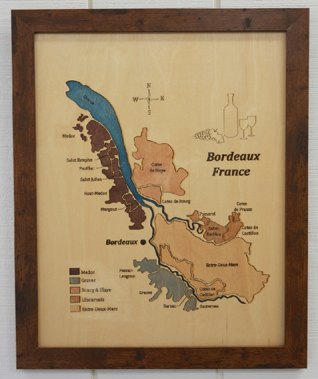
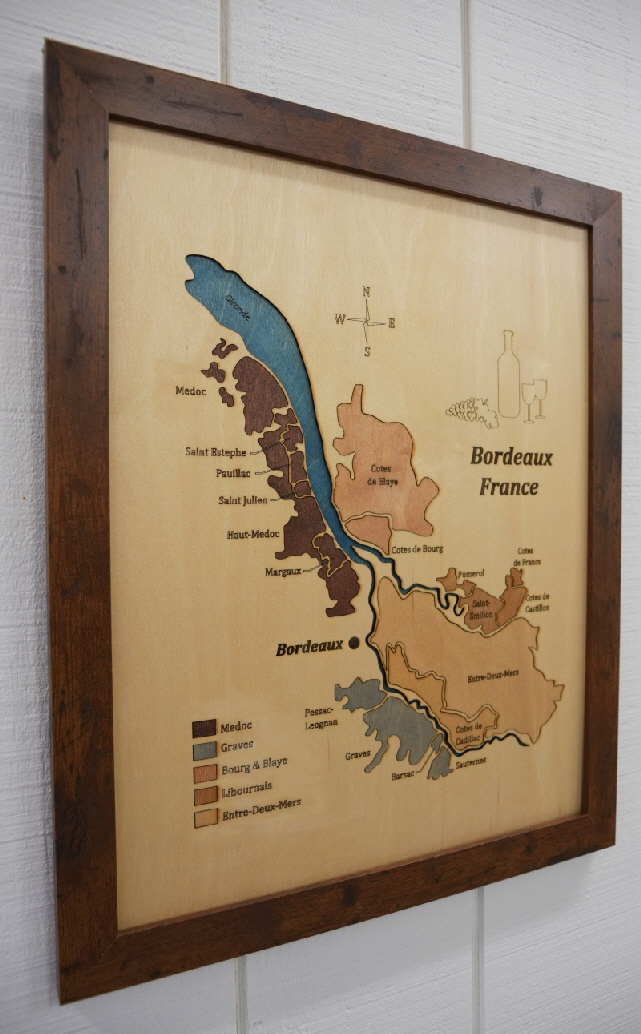
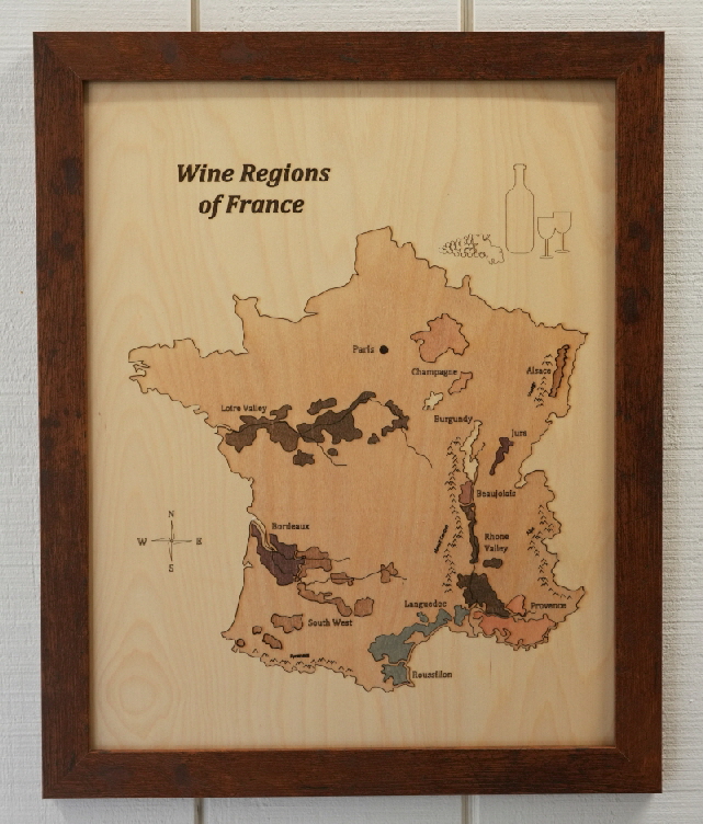
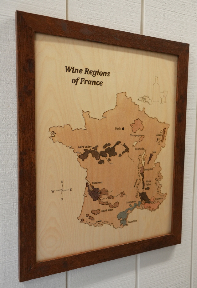
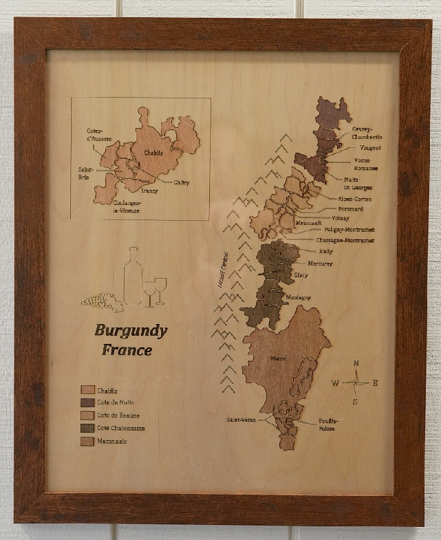
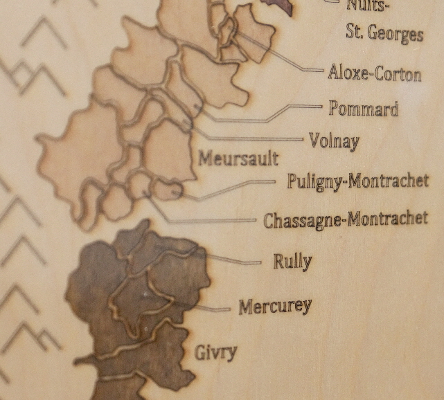
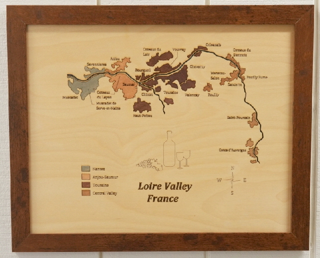
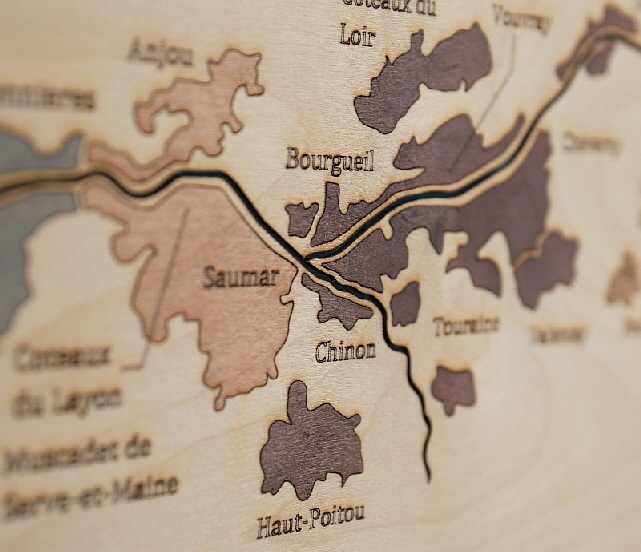
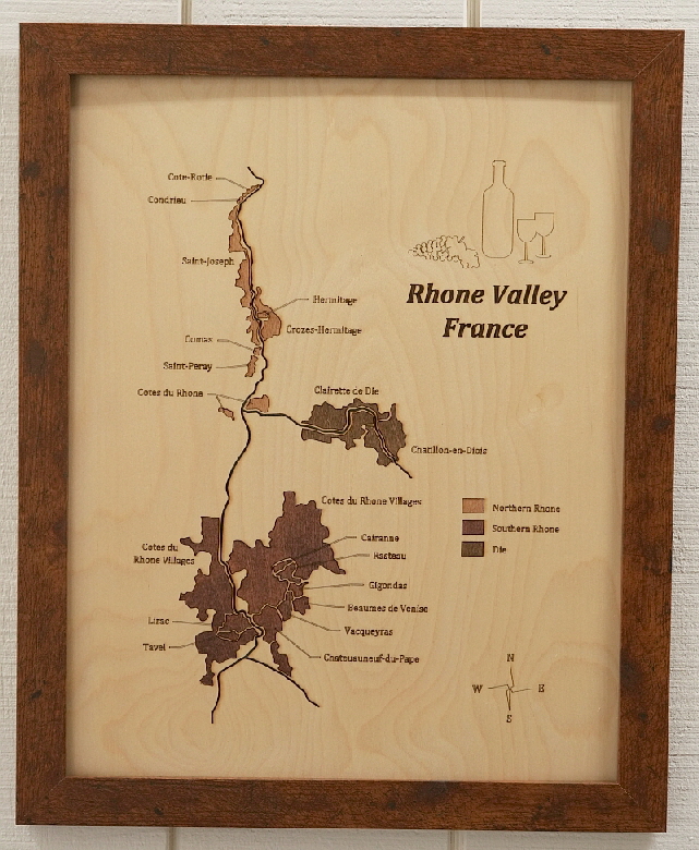
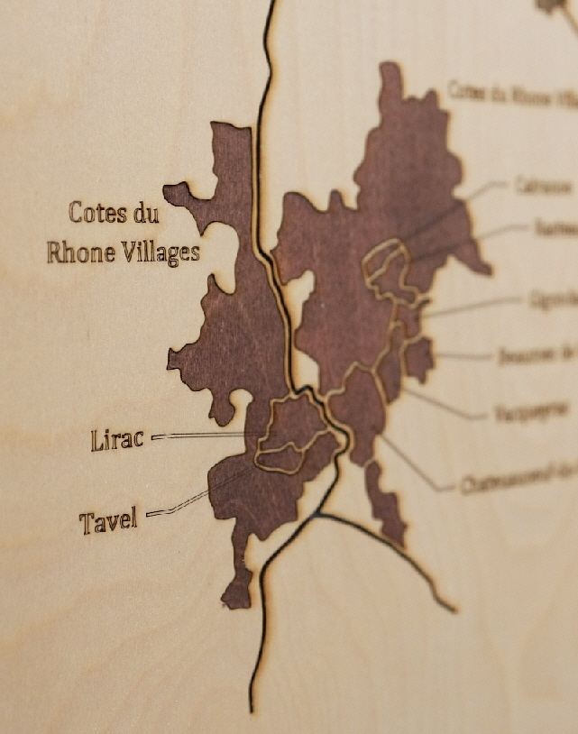
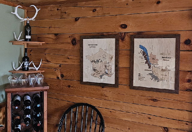
Wine Region Maps
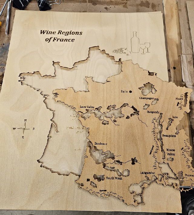
As an example of the capabilities of an NX3D machine, these 16”x20” wine region maps were made using a 40w 450nm diode laser tool to etch then cut 1.5mm birch plywood sheets. Two models are loaded into the unit; one of the region labels and other text and surface images which are burned at high speed and low power, and a second model of the regional outlines which are cut with slower speed and higher power.
It takes the NX3D less than an hour to perform the laser etching and cutting for each map.
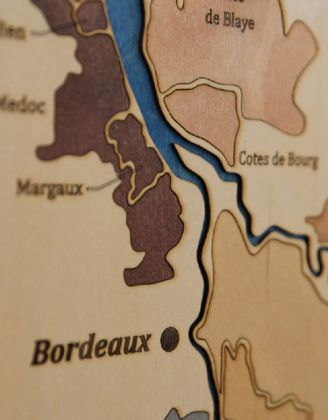
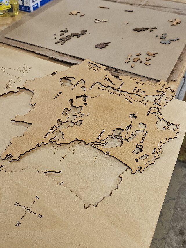
Once complete, the entire sheet is removed from the unit, the cut pieces are then removed from the sheet, individually stained, then glued back into place over a second 1.5mm plywood sheet that acts as a backing for the map.
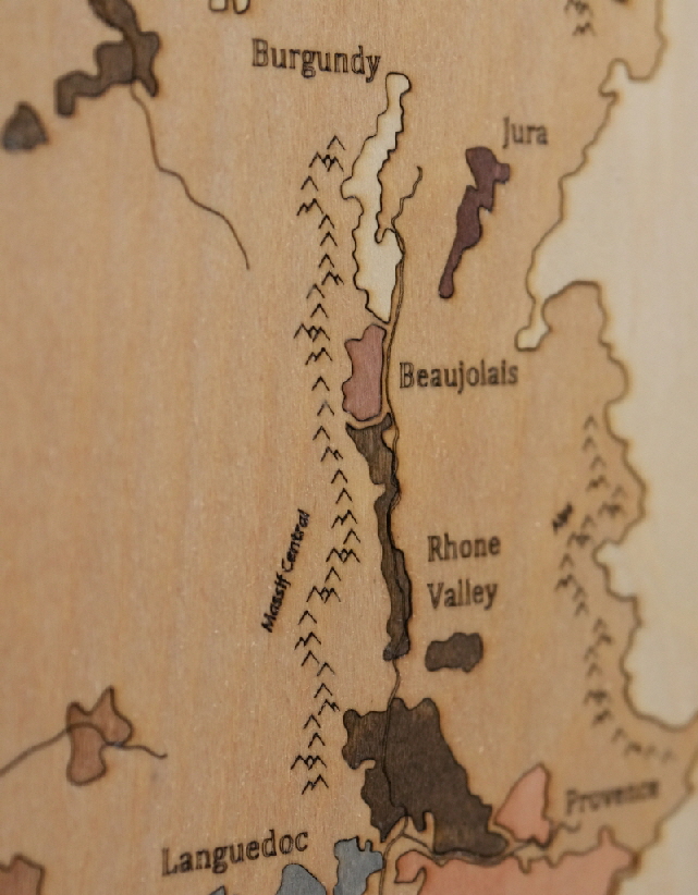
As you can see, the results are stunning.
These maps, and others, are available for purchase through our Amazon store front. Just search for Wine Region Maps.